

The Lab and Facilities
The Fire Weather Research Laboratory is located in the Department of Meteorology and Climate Science's Arnold True Atmospheric Observatory on the top floor of the Duncan Hall of Science at San José State University.
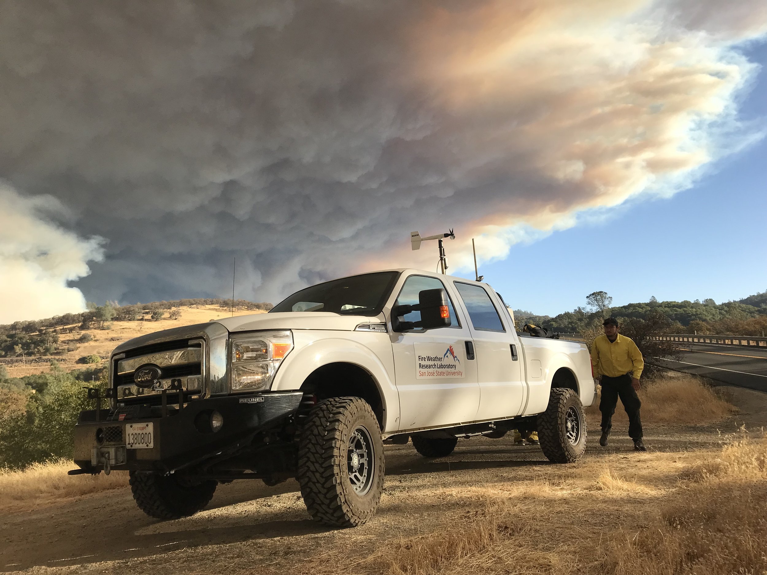
The Fire Weather Research Laboratory is the most well equipped fire weather research laboratory in the United States with a suite of assests including a network of remote fire weather stations, two 4x4 trucks equipped with Doppler lidar and radar, and an array of other laboratory facilities, sensor systems, and field equipment.

Duncan Hall, San José State University

Mobile Ka-band Polarized Doppler Radar
The mobile Ka-band Doppler Radar is an amazing tool for the surveillance of wildfires and studying wildfire plume dynamics. The radar was built by Prosensing, Inc. and has a 20 deg/s scanning capability with 7.5 m range gate resolution. The radar acquisition was funded by the National Science Foundation and the truck was purchased by the College of Science.
The truck is a 2019 F250 4x4 crewcab with a 4” lift kit, custom front bumper and a automatic leveling kit. The truck can be leveled to 0.05” in less than 3 minutes which makes this platform ideal for wildfire deployments.
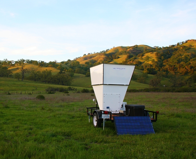
Mobile Atmospheric Profiling System
The CSU-MAPS is a joint facility developed by San José and San Francisco State Universities funded by the National Science Foundation. The system consists of two remote sensing tropospheric profilers: a scanning Doppler Lidar (Halo Photonics, Ltd, Streamline 75), and a microwave temperature and humidity profiler (Radiometrics, Inc., MP3000). The CSU-MAPS is also equipped with a GRAW Radiosondes GmbH & Co. KG mobile sounding system. Additionally the system has a 32 m (106 ft) telescopic meteorological tower mounted on a dual-axle trailer with 5 levels of wind and temperature/RH measurements.
For more information on the CSU-MAPS see the article published in the Bulletin of the American Meteorological Society.
CSU-MAPS truck with Doppler lidar deployed to the Camp Fire, Paradise, CA 2018.

CSU-MAPS just arrived at RxCADRE, Eglin AFB, Florida.

WIRC F-150 Lightning
The Lab shares an Ford F-150 Lightning with the Wildfire Interdisciplinary Research Center as a utility and deployment assistance vehicle. This all-wheel-drive zero-emissions vehicle allows the lab to conduct maintenance on remote weather stations and has supported field experiments in urban areas by providing clean, quiet power to instruments.
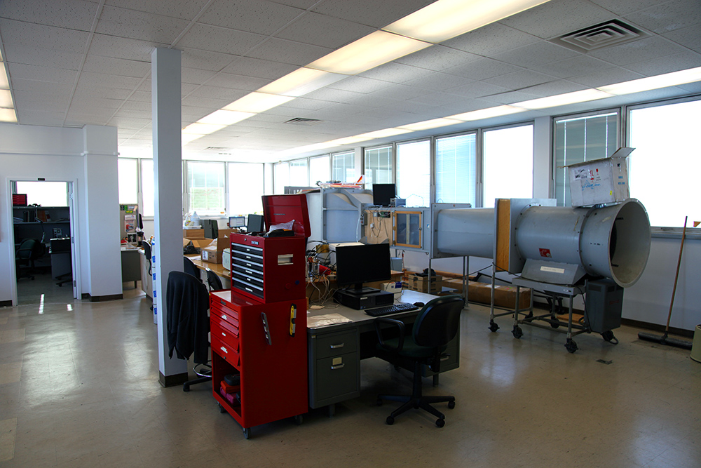
Instrument Testing and Calibration
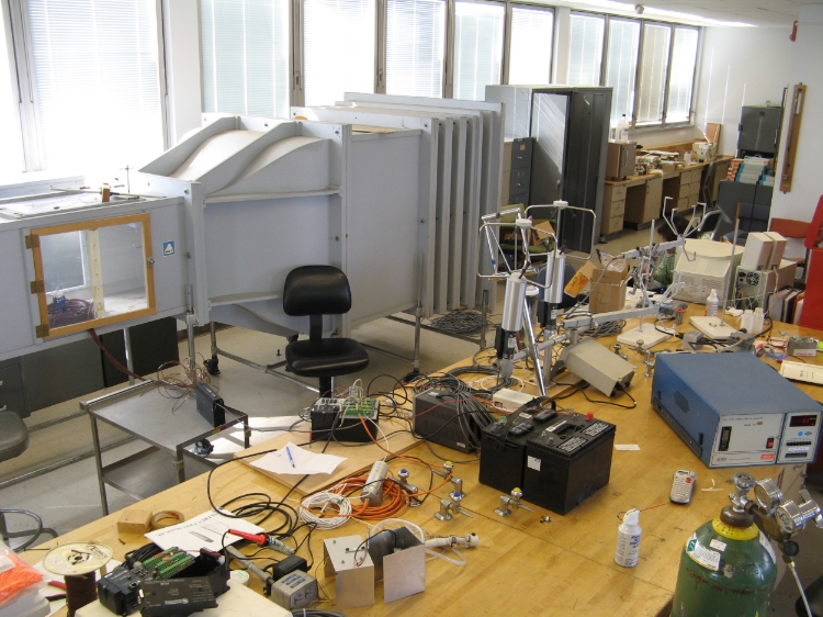
The lab has an instrument repair and testing facility including full electronics bench with tools, power supplies, multimeters, scopes, and soldering equipment. Our wind tunnel has a 1m x 1m test section and is equipped with a Campbell Scientific CR10000 data logger.
A lab bench is used for instrument repairs and instrument preparation for field deployments.
We also have a Thermo-Fisher Scientific Heratherm 750L environmental chamber. This chamber allows us to set constant or variable temperature and humidity conditions from 0-50C and 10-90% RH, providing an environment for calibrating equipment and conducting fuel moisture research.


Fuel Sampling Facility
The lab conducts bi-monthly fuel sampling for wildfire danger assessment for the San Francisco Bay Area. We sample fuels at two sites: Blackberry Hill near Los Gatos and Mt. Umunhum. Data are regularly uploaded to the Fire Environment Mapping System (FEMS) where it is available to the public.
Fuel Moisture data are also available at the SJSU Fuel Moisture Data Repository.
Other Equipment and Sensors
The lab is equipped with an extensive array of instrumentation to carry our elaborate field measurement campaigns including micrometeorological towers, upper-air soundings, and remote sensing of the boundary layer.
Some sensors include a sodar, sonic anemometers, and thermocouples.
Three dimensional ultrasonic anemometers are used to measure turbulence and winds within the fire environment during the fire front passage. The sonic anemometers have to be specially calibrated to be able to measure the high air temperatures associated with the fire plume.

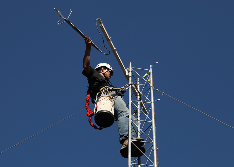
Upper-air radiosonde systems
The lab currently operates four different radiosonde systems, GRAW GS-E, GS-H, Intermet, and a Vaisala DigiCora III. The GRAW systems have been used the most and are very reliable.
Radiosonde systems provide valuable information on the state of the atmosphere including winds, temperature, humidity, and most importantly, atmospheric stability. These radiosonde systems are used by the laboratory during both field experiments and active wildfire incidents.