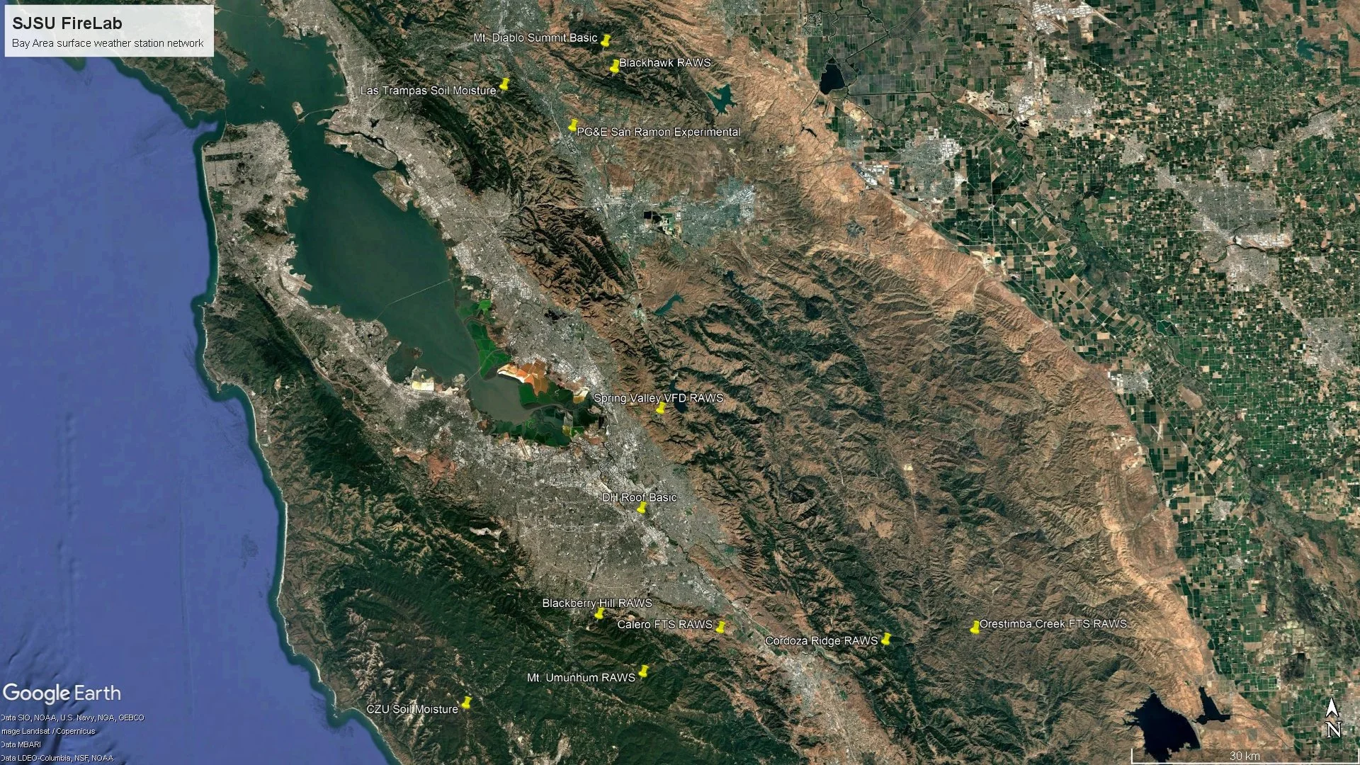
SJSU Fire Weather Surface Station Network

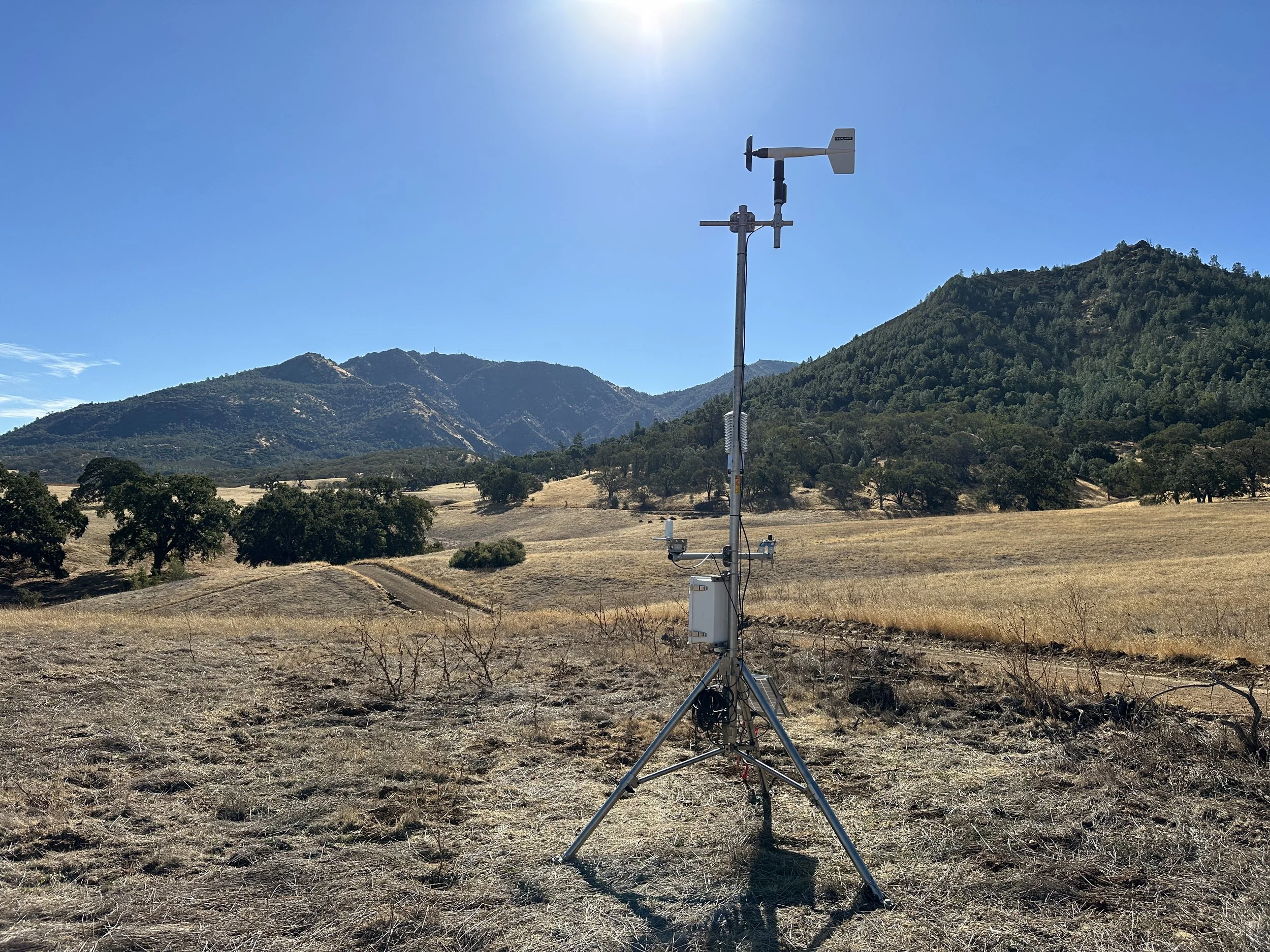
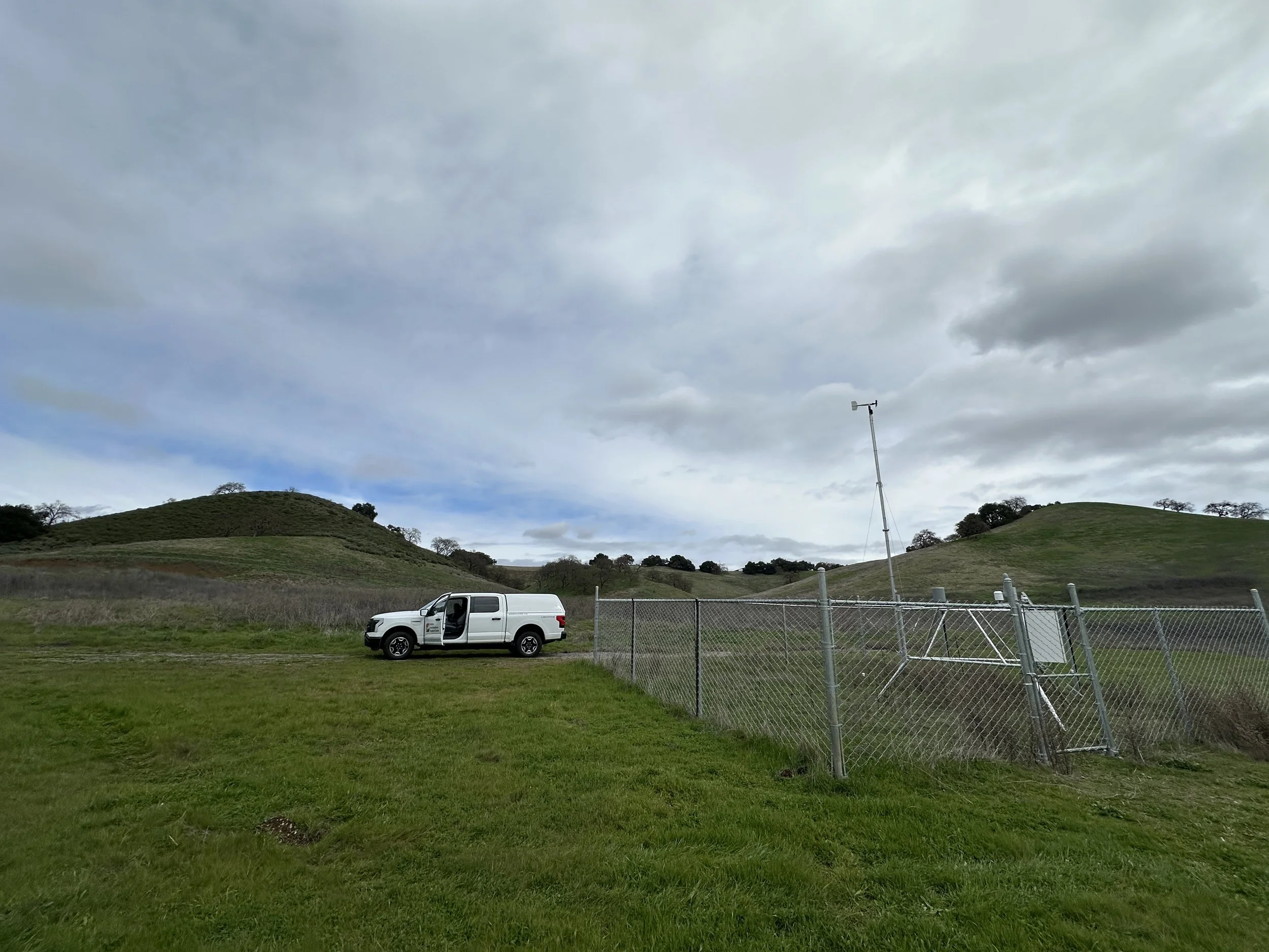
The Lab maintains a network of surface weather stations around the Bay Area. We collect a variety of data including temperature, relative humidity, wind speed and direction, solar radiation, rainfall, dead fuel moisture, and soil moisture. Data from these stations are ingressed by several methods and data are processed / QC’d on an SJSU server. Data are then sent to Synoptic, PBC (formerly MesoWest) for public access and display. The Lab also runs plotting code to visualize these data on our surface weather page at http://www.met.sjsu.edu/weather/sfcdata.
List of our stations by brand / type:
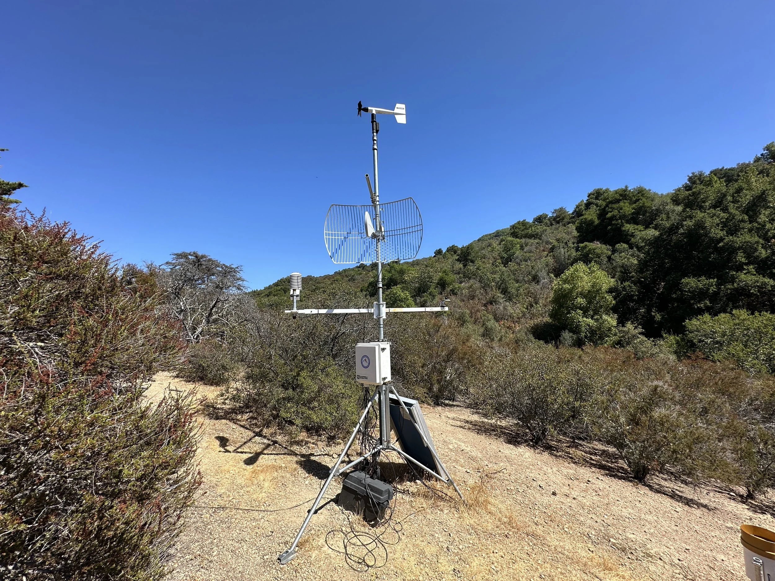
FTS RAWS
Calero (Calero Reservoir)
Orestimba Creek (Henry Coe)
Portable #1
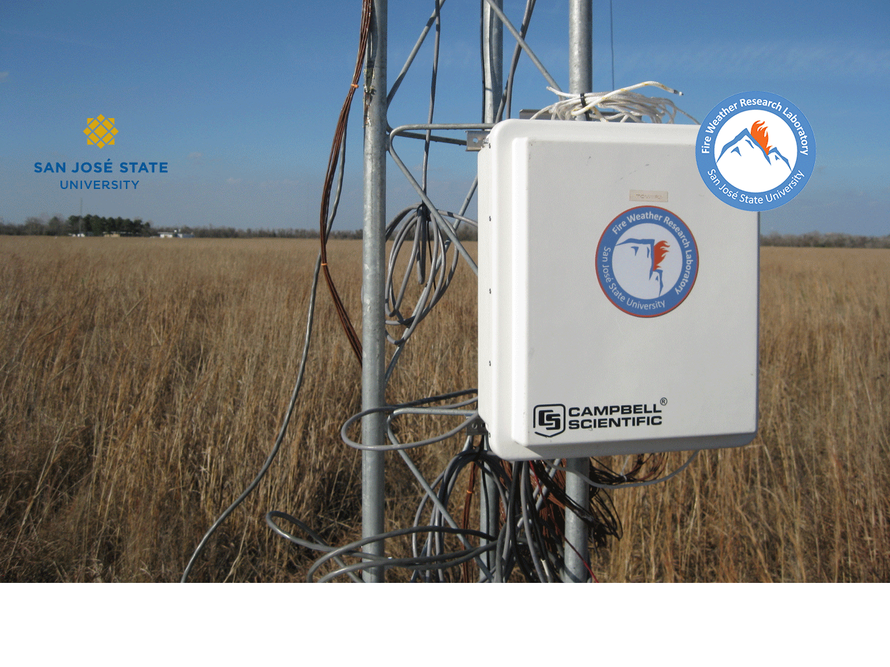
Campbell Scientific RAWS
Cordoza Ridge (Henry Coe)
Portable #2
Spring Valley Fire
Blackhawk (Mt. Diablo State Park)
Campbell Scientific Experimental Fire Weather Research Stations
Blackberry Hill
PG&E San Ramon
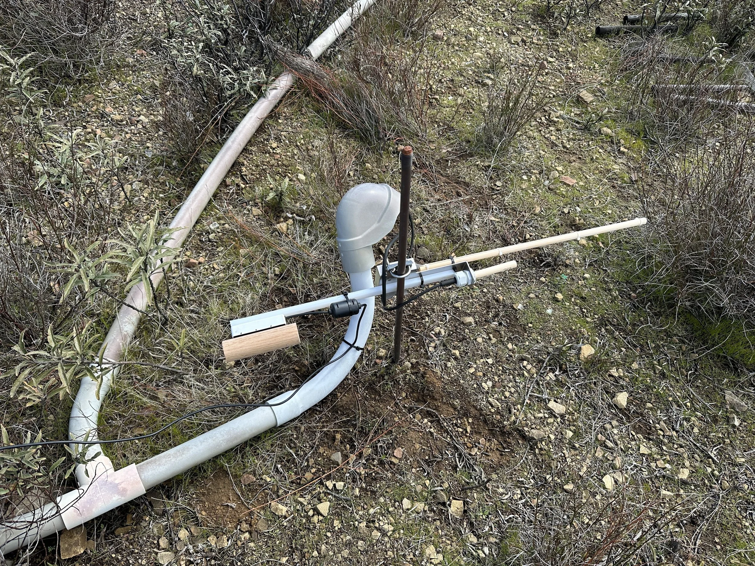
CZU Soil Moisture (coming soon)
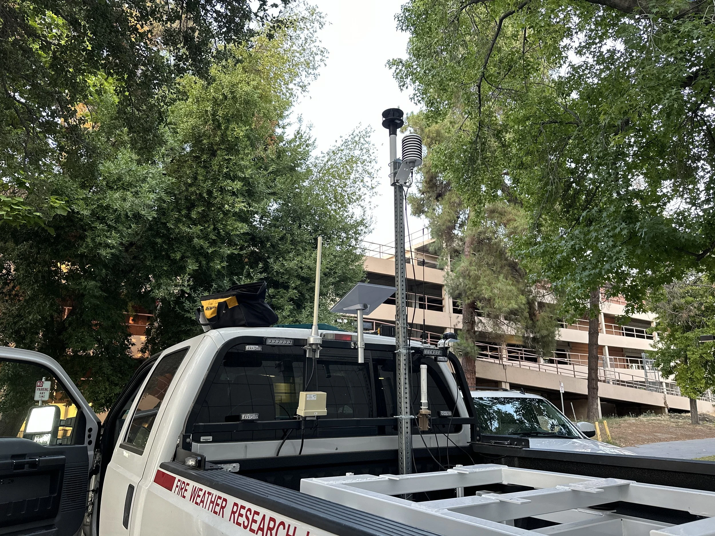
Mobile station on our lidar truck
Campbell Scientific Basic Weather Stations